 WildRoutes
01
Discover routes
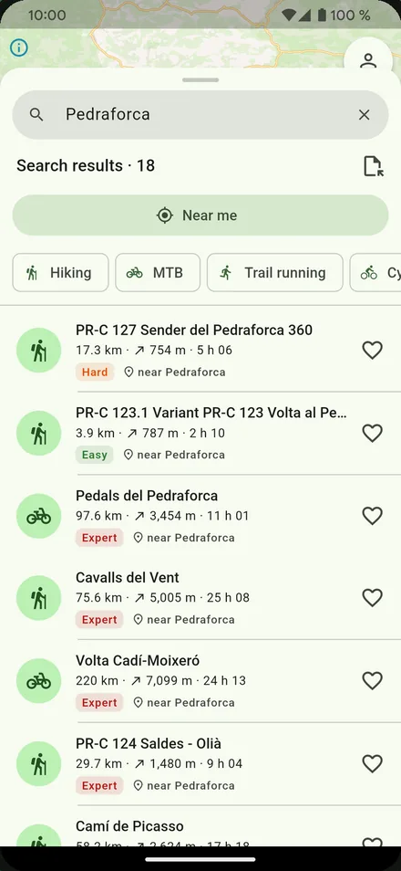
Routes near you with one tap, or search by name, town or peak. Distance, climb, highest point, difficulty and estimated time at a glance.
New: record and share your own routes
Thousands of routes with maps, elevation profiles and GPS navigation that warns you when you leave the trail. Download the map before you set out and keep going without coverage.
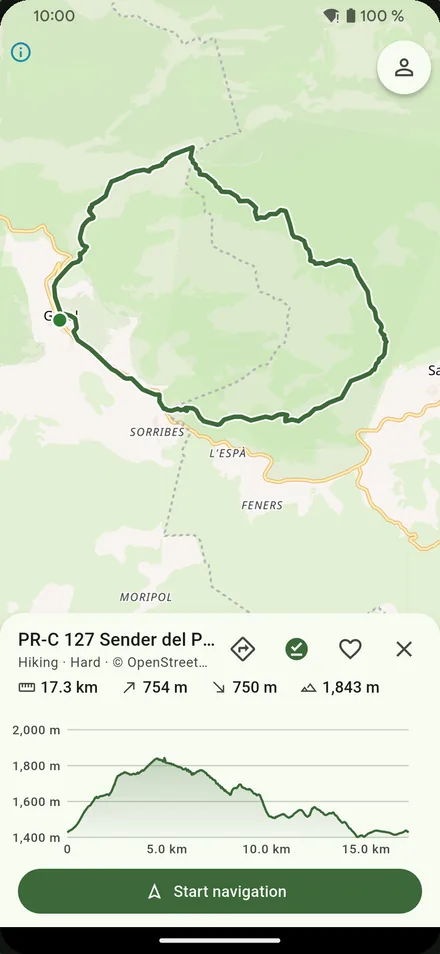
Hiking · MTB · Trail running · Cycling
Routes near you with one tap, or search by name, town or peak. Distance, climb, highest point, difficulty and estimated time at a glance.
Your position on the route in real time, with a sound and vibration if you go off course, even with the screen off. Auto-pause when you stop.
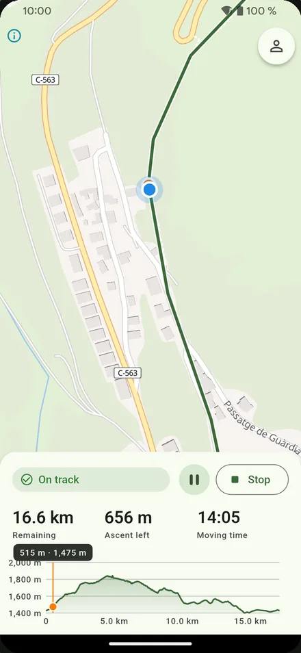
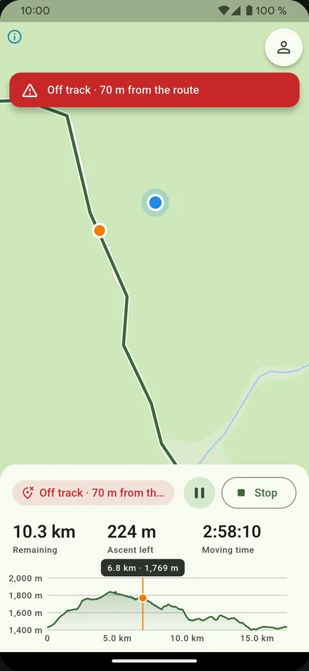
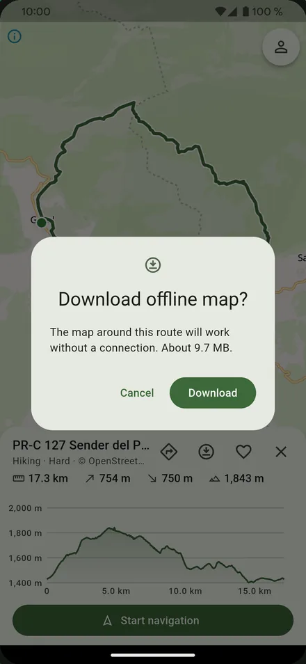
Download a route's map before you leave and navigate where there is no signal.
Do you know a trail that isn't in the app? Record it while you walk it and share it with others.
Routes are private by default, and the first and last 200 m are hidden so nobody sees where you live or park.
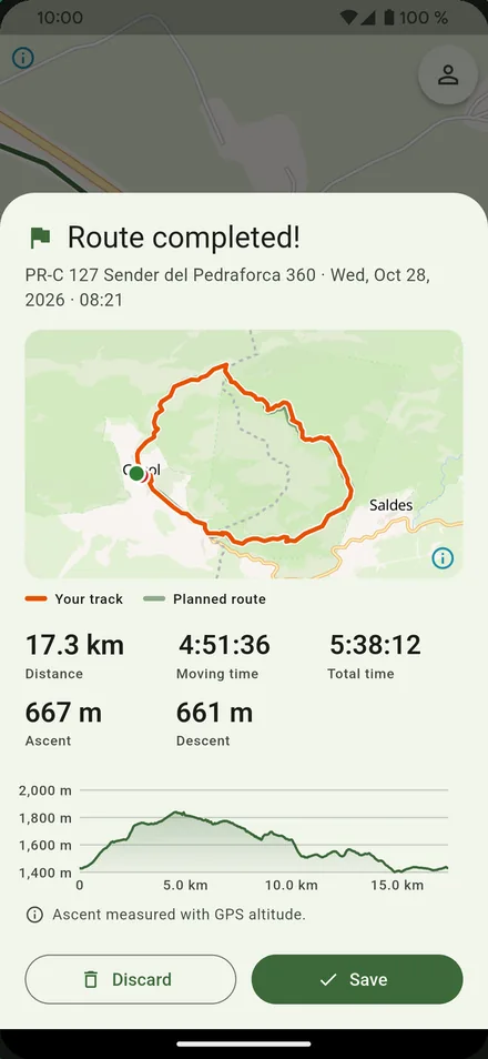
Each outing saved with its track, distance, times and elevation. With an account they sync, so you don't lose them when you change phone.
Open tracks from any website, app or watch and navigate them straight away.
Routes, maps, navigation and offline maps cost nothing. WildRoutes is paid for by ads, which never appear while you navigate. If you prefer it without ads, you can subscribe and cancel whenever you like.
Routes come from OpenStreetMap, from our team and from other users. Any route can be reported, and the WildRoutes team reviews the ones the community flags. You can also block users whose routes you don't want to see.
Available in English, Spanish, Catalan, French, Italian and Russian.
Navigation is an aid and doesn't replace your judgement: check the weather, the state of the terrain and your abilities before you set out.